Island Pond to Bloomfield
This post covers two days. And sorry it has taken a week to get this update out
West Charleston to Island Pond
I spent the night at the corner store next to an abandoned house, and heard more thumps and rustlings than I like to hear from an abandoned house. The morning was rather dewy and the clothes I left out to dry were more wet, what can you do? I made my way down to the store and met Mike’s wife Linda, and got myself a breakfast sandwich, a doughnut, and a coffee. I sat in the sun on the store’s porch while I ate. Linda would come out for smoke breaks and tell me about old tenants they had, neighbors, and general goings-on. She and Mike were leaving that day to go to Hampton Beach for the weekend like Sally from Enosburg was.
I started packing up my things eventually, but Mike stopped to ask if I’d like a ride to see the country-side as he was going to get a cooler. I took him up on it, and he showed me land his father had bought years ago, some of the property be owned, and the hut he used to boil maple syrup. It was a beautiful view of open fields nestled among the trees up on a hill with the early morning light.
There was an 0.8 mile portage to Spectacle Pond alternately called Charleston Pond. This pond was only a mile long before another portage to Pensioner Pond. I’ve really grown to despise these in-and-out portages and prefer one long one. So I said goodbye to Mike and Linda, who wished me well and told me to stop by if I passed that way again, and wheeled two miles down the road.
Pensioner Pond had a head wind and I was a little reluctant to get in the water that morning. I took my time launching and had a snack. It didn’t take long before I was at the end of the pond and winding my way up the Clyde again.
This part of the river was much easier than the day before but was very twisty and narrow with many downed trees. Most of them I got through with surprising ease, once I had to bench press my way under a bole, and another time I had to do a twenty point turn amongst branches.
The initial part of the river was marshy, and there were tree stands and little shacks for what I assumed was duck hunting. But then I came to a section of the river that was a straight avenue lined with cedars and relatively free of obstacles. This is my favorite paddling (if I had been going downstream it would have made it better). So I enjoyed the reprieve and relative silence (sounds of the highway never too far off). I saw some dark slinking shape run along a downed tree. I think it was a mink or maybe even a marten, but I didn’t see it well enough to know for certain.
Past this section the current became stronger and more downed trees were crossing my path. It was not very difficult but it was just frustrating enough to be a nuisance. I was looking for an overpass near a farm stand, as my guidebook suggested talking to Pat and Bob for their advice navigating “the Fen”. I could hear farm equipment and catch glimpses of open fields, but with each twist and turn of the river I seemed no closer than before. The current was now enough to be tiring and based on my progress I was worried about making it to Island Pond before 7.
Eventually I came to the overpass and found the farm stand empty. To make matters worse I only had Canadian cash and couldn’t buy any treats from the stand. I went back to consult my guidebook: the Fen was infamously difficult to navigate and easy to get turned around. The book said that after the Fen some people portaged the last 2.5 miles to town as the current became more challenging. I decided I would rather take out now rather than fight the river for two hours only to find I needed to take out anyway. Besides I’d gotten pretty good at wheeling my boat around. Third day in a row of 5+ miles of portaging.
Unfortunately I noticed my wheels were now pigeon-toed. I think this happened as I was limboing under the downed trees and bumped the wheels enough to bend the frame. I took out my trusty oil and made sure the wheels were well lubricated. As I was strapping up a car stopped by with a woman asking if I was paddling the NFCT. It turned out this was Pat whom I had hoped to find at the farm stand. She informed me that the bridge on 10 Mile Square road was washed out from the flooding, maybe I could put in and paddle across but I was not walking over it.
It was a good thing she stopped to tell me as that was the direction I was heading. So I would need to reroute along 105. Pat offered a ride or assistance. I said if she took my backpack to town it would be a big help but Fort Nessmuk and I would need to go together on our own steam. Pat left briefly to tell Bob, and she returned shortly. She relayed to me that Bob said I should paddle the Fen as I had already done the hard part. He was too busy farming to come tell me himself. This did give me pause but I had already packed the boat and mentally prepared myself for the walk. Pat drove off with my bag, I put the Doobie Brothers on, and started walking.
The road was relatively flat for a change, and the pigeon-toed wheels didn’t drag too bad. It was a beautiful day and I watched farmers haying the fields. I passed many cows who would stop in dumb bovine curiosity at me and my canoe. Two canoes came to the fence to investigate further but were too cautious to let me scratch their noses. At some point Pat passed me and I only realized it too late and gave her a pathetic wave.
I can’t remember if I’ve already mentioned in the last couple of blogs, but Vermont seemed to have uncommonly kind people. I had half a dozen or so people stop and ask if I needed a ride or water just in the first few days. As I was walking, I reflected that with the exception of Pat all these good Samaritans were older men, and I thought it would be nice for a change if say a beautiful young lady offered me some water, meaning no offense to older men. An on-coming truck went by and I made eye-contact with the driver, a pretty woman. In my weary reverie I thought, “if she asked me if I needed help I’d ask her for a drink at the inn”. Ten minutes or so went by and to my shock the very same girl pulled over coming from the opposite direction and asked if I was headed to town. I was quite unprepared for this, and catching my breath refused but asked her name, and told her to meet me for dinner at the inn. She pointed at her shirt and said that’s where she works, laughed, and drove off. I know it’s a faux pas to ask a girl out without a ride but you can’t blame a guy for trying.
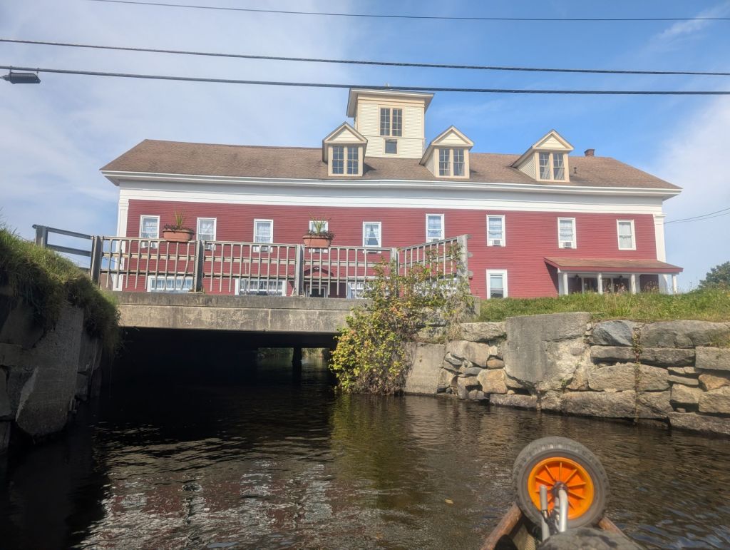
Soon enough I made it to the Essex House and Tavern, an inn and restaurant which straddles the Clyde. I had heard about this place many years ago when I first heard about the NFCT and it captured my imagination. I do wish I had paddled up to it, but I wasn’t going to pass up the chance to eat and sleep here for the night. I showered up, and ate like a king at the restaurant before turning in for the night.
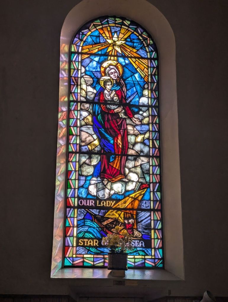
Apologies, but I have no photos from this section so here is some stained glass from the church in Newport.
Island Pond to Bloomfield… Almost
The last day of my trip! It had been a great trip and I managed to get many creature comforts, but it’s always nice knowing it’s the last day and I can sleep in my own bed with the seat of my pants being dry. This last segment would mean I would finish Vermont and meet up my western travels with the first of my eastern travels, ending where Tom and I put in three years before (Chapter 9). More on this later.
I packed up and checked out from the inn leaving behind sand and a tip in Canadian dollars. I loaded up the boat before strolling to a cafe for a sandwich and coffee. I didn’t get to paddle under the inn the night before but this morning I put in behind the inn and paddled through the canal out into Island Pond. I knocked my sunglasses off while trying to get the photo but with some deft work of my paddle managed to scoop them out of the drink.
It was a quick paddle across the pond to a sandy beach campground to take out for the portage to Nulhegan Pond. Here I was crossing from one watershed into another. I stopped and chatted with Neil and Michelle who were staying at the campground. They asked me about my trip and we talked about when they had lived in Maine years ago. They generously offered to give me a ride which I turned down but took them up on a cup of coffee. After standing and talking a while Michelle offered me a seat and I said that I couldn’t get too comfortable, to which Neil laughed and gently mocked his wife’s hospitality by saying “lay down take a nap if you need to!” With well wishes and partings done, I began another 4 or 5 mile wheel down the state route 105.
As in other parts of this trip there was a short portage to the adjacent Spectacle Pond (which now that I see maybe the aforementioned Charleston Pond is not called Spectacle; I need a good editor). This would give me half a mile of paddling and then another portage. This is more effort than it’s worth and I decided one long portage suited me just fine.
Eventually I made it to Nulhegan Pond. I bushwhacked my way through the overgrown footpath to put in the muddy and weed choked pond. The first 30 yards I was pulling more than paddling my way through lilly pads before I got into the open water of the pond. The stunted trees around the pond were beginning to show the colors of fall. It took me all of 10 minutes to get through the pond to the Nulhegan River.
The Nulhegan was narrower even than the upper reaches of the Clyde. Some places I could not use my kayak paddle as its wingspan was enough to drag and catch in the grass, so I switched to my canoe paddle. I was happy to be going downstream as the narrowness of this stream would have made it a nightmare to paddle up. The river did widen but not greatly. And there were many beaver dams. Many of these I could get to ramming speed and go right over, but others I would carefully stand on and drag the boat over before hopping back in.
Unfortunately one of these I began paddling too zealously, and jammed my ring finger between paddle and gunwale. Either from sheer force or from the edge of the wood I cut open my finger and it began to bleed. I am admittedly a wimp especially with regards to finger injuries so this caused me some distress. I never did take the first aid class with Ryan after last year’s ankle injury. I stuck the canoe into some grass on the bank and did my best to clean and bandage my finger, gingerly turning 180 in the boat to rummage for my first aid kit.
Despite being downstream, I was not making great time; the many beaver dams and twists and turns slowed me down. And I determined I was not going to make it to Bloomfield at 6 o’clock, so I messaged my dad to inform him to look for me between Wenlock and Bloomfield.
At 4 o’clock I made it to Wenlock Crossing. The river was wider by the overpass and there were muddied stone steps leading up to the guardrails. Henceforth the river became more technical with man rapids even some Class IV rapids and a cataract to carry around. I stopped to consult my guidebook to make a determination. I wanted to do some of the rapids; Class I are no problem, Class II are manageable, Class III I would prefer another person and a different boat, and Class IV is not a good idea in an open boat with gear. Unfortunately, there weren’t great options for taking out after Wenlock Crossing and I didn’t want to commit to the easier rapids only to find I had to do it all. With this in mind and only two hours to do the remaining 8 to 10 miles, I decided that caution was the better part of valor and I would get out to … Drum roll please … Portage the 8 miles down the road.
In the breakdown lane again with the Doobie Brothers keeping me company, I started walking again. I won’t go on with details as there is only so much that can be said about walking down a highway. I will say there are a lot of wooly caterpillars in the breakdown lane for some reason, and one couple, Kyle and Jessa, pulled over in a sports car. They had seen me some time that weekend and asked what I was doing. They gave me a Gatorade and a Twisted Tea, much obliged. And here my trip ends. Eventually my parents pulled over to pick me up.
Closing Remarks
So I was 4 miles short of my mark but this doesn’t bother me any (I wasn’t going to have my parents wait two hours for me to walk and have us all drive back in the dark); but I am extremely grateful for this trip. After last year I felt a little overwhelmed with what I had left to do, with many difficult and demanding sections remaining. But I completed, for all intents and purposes, all of Vermont and Quebec on this trip. Over 100 miles covered and a quarter to a third of that walked! I met so many wonderful and kind people for whom I’m grateful.
This trip electrified me and I’m excited that the end is in sight! Above I mentioned how making it to Bloomfield connected my western travels with my eastern travels; bare with me as I talk about some logistics. If you’ve been following my blog or especially if you haven’t, I have been opportunistically paddling (or walking) sections and not doing it in one contiguous path. Before this trip there were five disjointed chunks I had completed: all of New York into East Highgate Vermont (what I think of as my western travels), most of New Hampshire that I did with Tom, the Rangley Lakes region, Flagstaff Lake which I did with Ryan, and northern Maine from Jackman into Chamberlain Lake (these latter four I think of as my eastern travels). I’ve now merged the west and east (barring the four miles), and I’m really excited about this. I plan to walk the last four miles before the close of the year, and may finish New Hampshire this year too. Having done that I will have done the contiguous path from Old Forge to Rangley Maine. Believe it or not I can close my eyes and fast forward my way through all the towns and states.
So what’s next? Hopefully I can fully complete VT soon, and also NH. Next year I have to go down the Dead River (closing the gap from Rangley to Flagstaff), reattempt Spencer Stream into Jackman (closing the gap between Flagstaff and northern Maine), and lastly do the Allagash to finish the trip! See the NFCT Section List for a visual, dates, and GPS data.
Until the next one, cheers!

hey Josh , way to get ‘er done !!! a trip to remember for sure !!! 🥳🥳🥳 again , a beautiful state with some really great folks !!!
thanks for sharing 👍
love ya ,
Auntie Stella
LikeLike
Congratulations Josh. You have accomplished a lot and I’m anxious for you and dad to finish the trip together.
LikeLike
Further up and further in!
LikeLike